
At Carroll Engineering Corporation (CEC), we understand that every successful project starts with precise, reliable surveying. From land development to infrastructure planning, our licensed team of surveyors provides comprehensive services that lay the groundwork for every phase of your project.
Why Surveying is Essential
Surveying isn’t just about measuring land. It’s the critical process that provides the data needed for informed decisions, accurate design, and smooth construction. Precision surveying helps avoid costly mistakes, ensuring that projects—whether residential, commercial, or municipal—start on solid ground. With reliable survey data, you can better understand the terrain, define property boundaries, and anticipate potential challenges before they arise.
Comprehensive Surveying Services at CEC

At CEC, we offer a wide range of surveying services tailored to meet the needs of our diverse clients. Using the latest technology and industry best practices, we deliver results with precision and efficiency. Our services include:
-
Boundary Surveys
Clear and accurate property lines are crucial for land development, real estate transactions, and resolving legal disputes. Our boundary surveys ensure clarity and accuracy to avoid encroachment and protect your property rights.
-
Topographic Surveys
Knowing the lay of the land is critical for planning and design. Our topographic surveys provide detailed maps of natural and man-made features, including elevations and slopes, to guide informed project decisions.
-
ALTA/NSPS Land Title Surveys
Required for commercial real estate deals, ALTA/NSPS surveys ensure compliance with industry standards. These surveys provide essential details on property boundaries, easements, and potential encroachments, safeguarding both buyers and lenders.
-
Construction Stakeout
Accurate stakeout services are crucial for successful construction. We guide contractors by ensuring buildings, roads, and utilities are constructed in the correct locations according to approved design plans.
-
Subdivision and Land Development Surveys
Planning a residential subdivision or commercial development? Our subdivision and land development surveys support the design, approval, and permitting process, ensuring your project complies with local regulations.
-
GIS Mapping and Data Collection
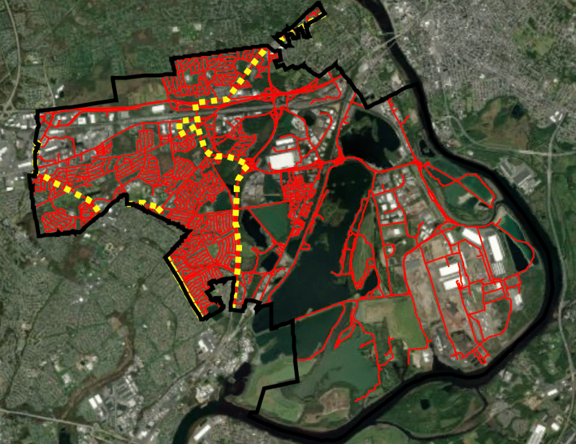
Our Geographic Information Systems (GIS) technology helps manage and analyze spatial data. From asset management to infrastructure planning, our GIS mapping services provide the insights you need to succeed.
Leading Technology for Accurate Results
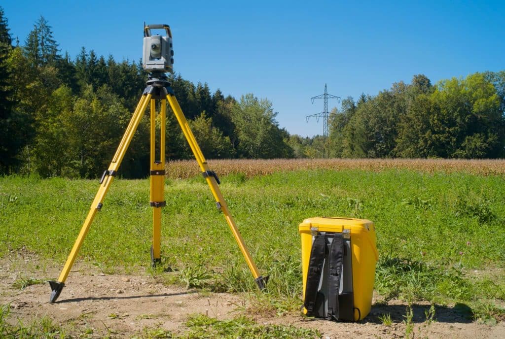
CEC leverages cutting-edge technology such as GPS, robotic total stations, and 3D laser scanning to gather data with pinpoint accuracy. This advanced tech enables us to handle even the most complex projects with efficiency and precision. Whether it’s a small residential plot or a large commercial site, our team is equipped to deliver high-quality results, no matter the scope.
Commitment to Excellence and Accuracy
With decades of experience, CEC has earned a reputation for providing high-quality surveying services across public and private sectors. We understand the unique needs of each project and work closely with our clients to ensure that every survey meets their specific requirements. From initial planning to project completion, our team is dedicated to delivering the data and insights that move your project forward smoothly and confidently.
Partner with CEC for Reliable Surveying Services
Whether you’re a property owner, developer, contractor, or municipality, Carroll Engineering Corporation is here to support your project’s success. Contact us today to learn more about how our expert surveying team can help you build a solid foundation for your next project.

