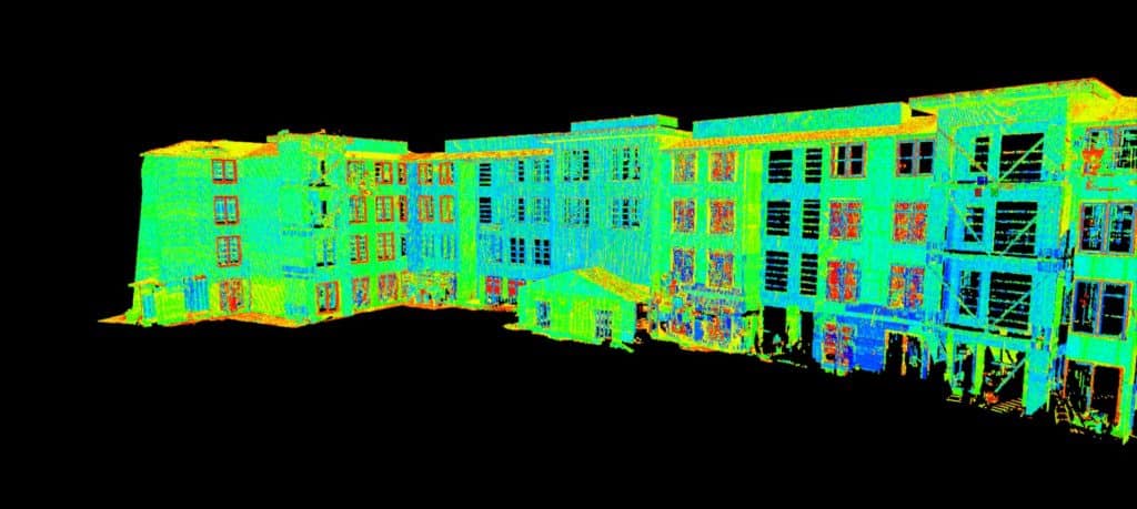

3-D high-definition Laser Scanning capabilities have arrived at Carroll Engineering. Carroll Engineering has responded to the rising challenges of our clients and has bridged the gap between conventional survey methodology and the future. We have added a Leica ScanStation P40 with Cyclone office software to our survey data collection systems. These tools offer some of the highest versatilities when collecting geospatial data, delivering outstanding range, speed, accuracy, and data quality. Point cloud data is collected at a scan rate of 1 million points per second.
The point clouds are registered together and geo-referenced to survey control points applied to survey projects such as: utility substation as-built surveys, roadway mapping, road intersections, and overhead wires, bridge locations and clearances, water and wastewater treatment plant surveys, building facades, building interiors, and ADA compliance surveys.
Although new to Carroll Engineering, our employees have a combined 20 years of experience using this technology.
FOR MORE INFORMATION ON OUR SURVEY SERVICES, PLEASE CONTACT:
General Surveying
Steven Murphy, PLS | smurphy@carrollengineering.com | 215-987-0269 ext 257
Geospatial Surveying / 3-D Laser Scanner Service
Errol Melnick, PLS | emelnick@carrolengineering.com | 908-874-7761 ext 223
