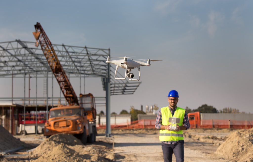

Take the opportunity to see the entirety of your site from a bird’s eye view, with the help of Carroll Engineering’s drone technology. We have been utilizing the drone’s ability to capture aerial views of clients’ projects from start to finish, pre-planning initiatives, site mapping and offer real-time video captures for hard to see areas using accuracy and speed. Our licensed drone pilot uses his experience to remotely pilot the unmanned aerial vehicle (UAV), as it collects aerial data through its pivotal imagery sensors. For instance, when used in a drone survey, a client can request measurements at certain distances and in other specified volumetric distances. Project managers can inherently benefit from utilizing the drone information for day-to-day project updates and staying informed to make quicker reaction times to any project delays that can arise.
Here are some areas employing the accuracy and quality of Drone Technology:
- Municipal Planning
- Planning and Design for Water Resources
- Engineering for Public Facilities, Bridges, and Roads
Check out our drone in action with these videos from our YouTube page:
Feasterville Water Tank – Ladder and Roof Inspection
Feasterville, Bucks County, PA
Click to watch video
Uhlerstown Covered Bridge – Bucks County Bridge #203
Uhlerstown, Bucks County, PA
Click to watch video
Upper Mount Bethel Township Community Park
Upper Mount Bethel, Northampton County, PA
Click to watch video
Have a project in the pipeline that needs an aerial capture?
For more information on our drone service, please contact Joel Ardman, Vice President by email at jardman@carrollengineering.com
or call 215-343-5700 ext 243.
For more information about all of our services, please visit our website at www.carrollengineering.com.
